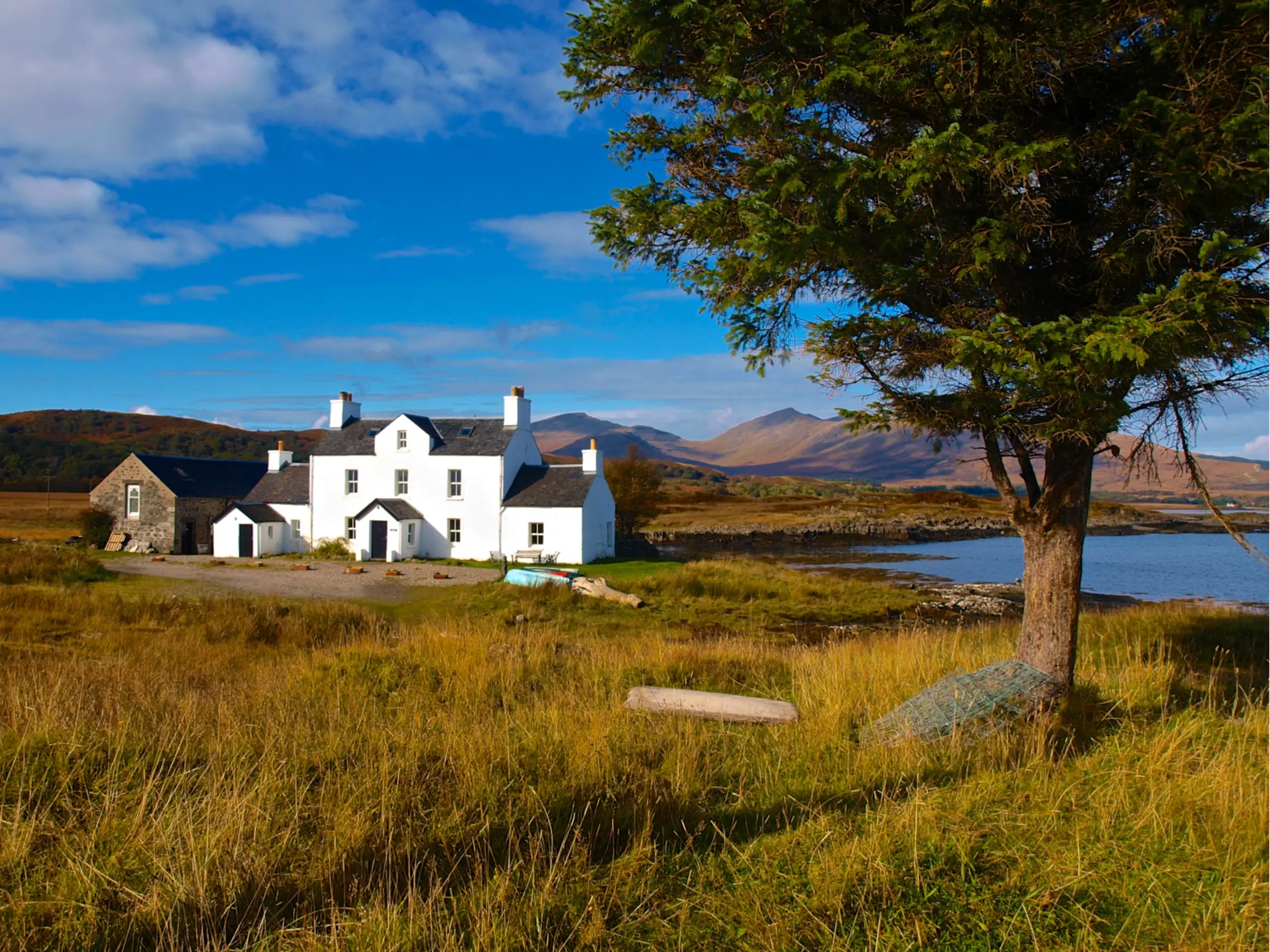
After nearly 50 years sailing past the entrance and wondering what secrets lay inside this loch, I only ventured into it in 2023, largely because the Antares Chart makes this a piece of cake. The main anchorage puts you a bit out from the shore so you forgo inflating the dinghy, poor the gin and tonic, and watch the birds. If you keep your eyes down, this anchorage looks and feels more like an east coast of England river than a Scottish loch, but look up and the mountains are a bit of a give-away. Capt. Harvey liked the place in 1935 and he certainly didn't even have a Navionics let alone an Antares chart: "This is a good little anchorage in about 9 feet, the bottom being sand and rock covered with weed. It is best to anchor just inside the point and opposite the small ferry pier, where a lugger is sometimes hauled up, and not to go southward of the point as the bay is foul close in" (Sailing Orders. Captain J R Harvey, Alexander Maclehose, London, 1935).
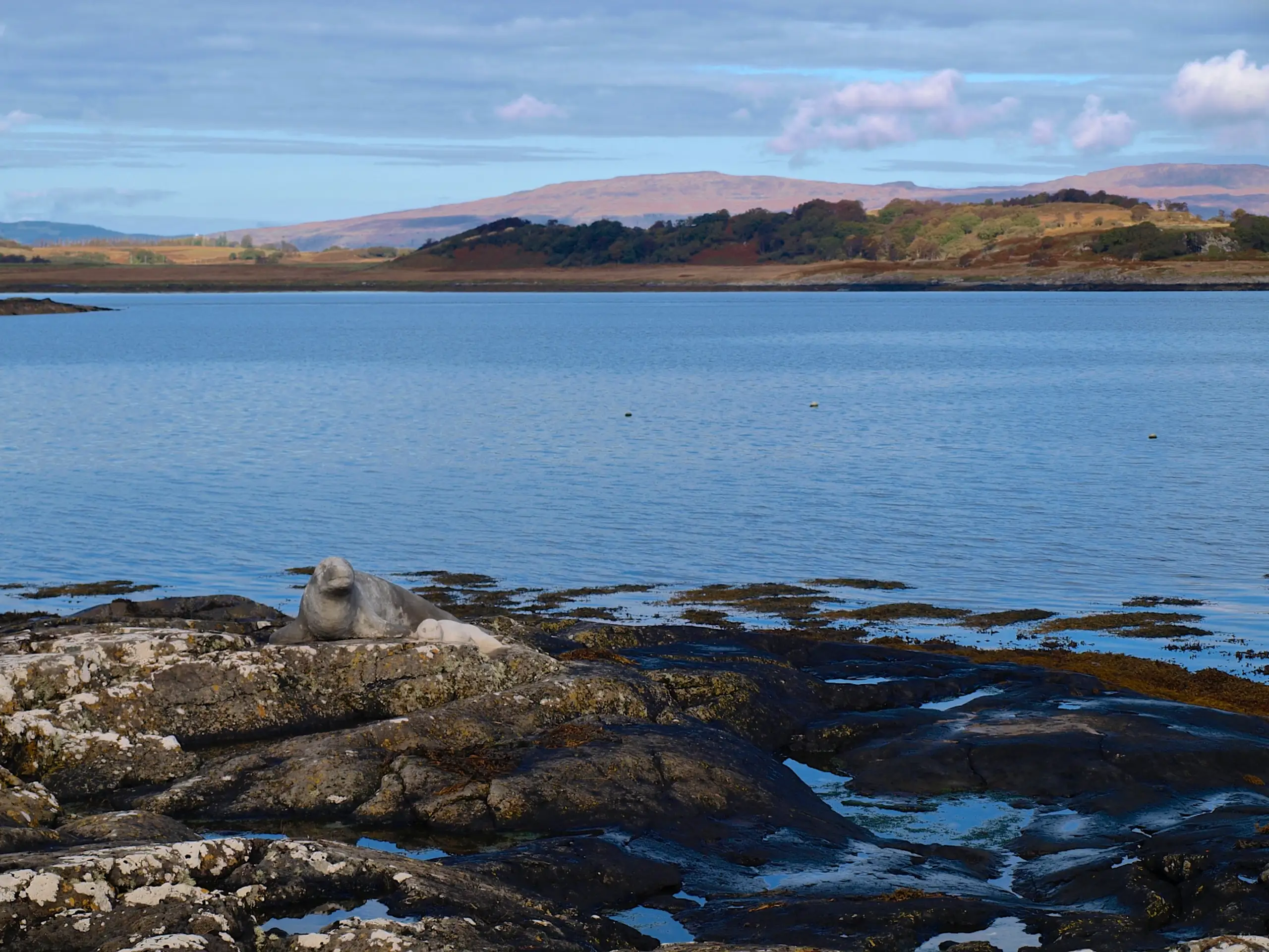
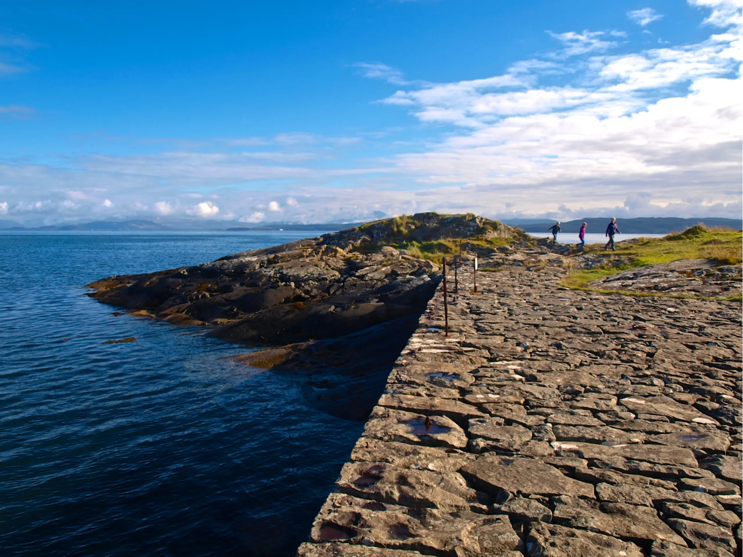
At the south entrance, the pier is a lovely and remarkably well-preserved structure, as is the slipway. A few yards away on the rocks you might think there is an Atlantic seal with her pup, but in the summer this is hardly likely. Look closer and you will see it is a rather lifelike sculpture, made out of cement I think. The ferry house and ferry cottage are both for rent, so any local population here must have long gone. A grand spot to view the Firth of Lorne and the entrance to the Sound of Mull.