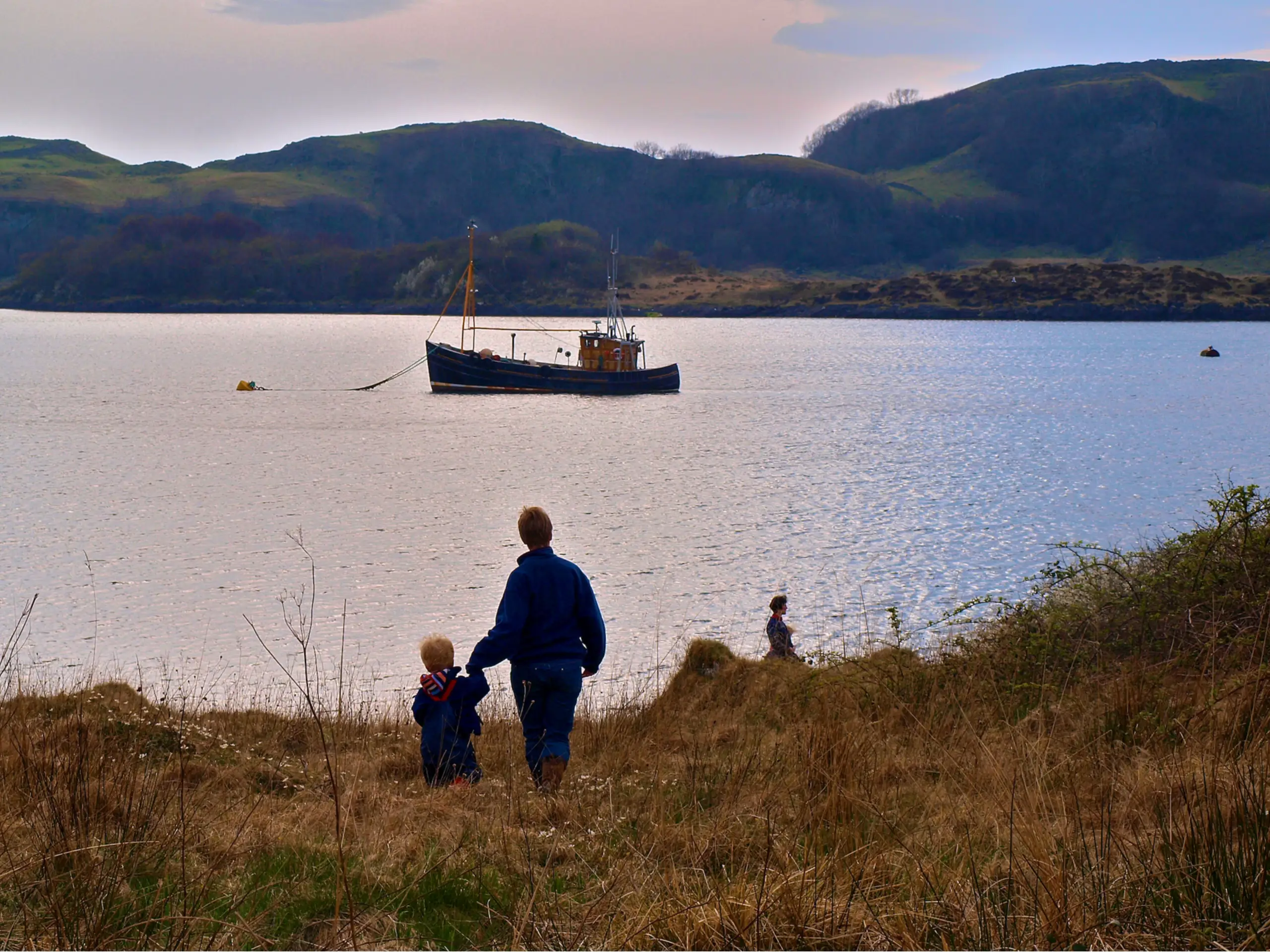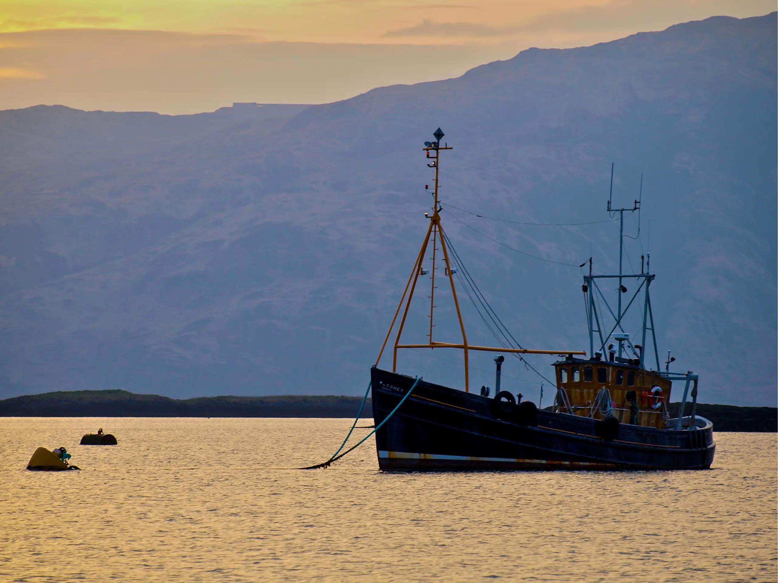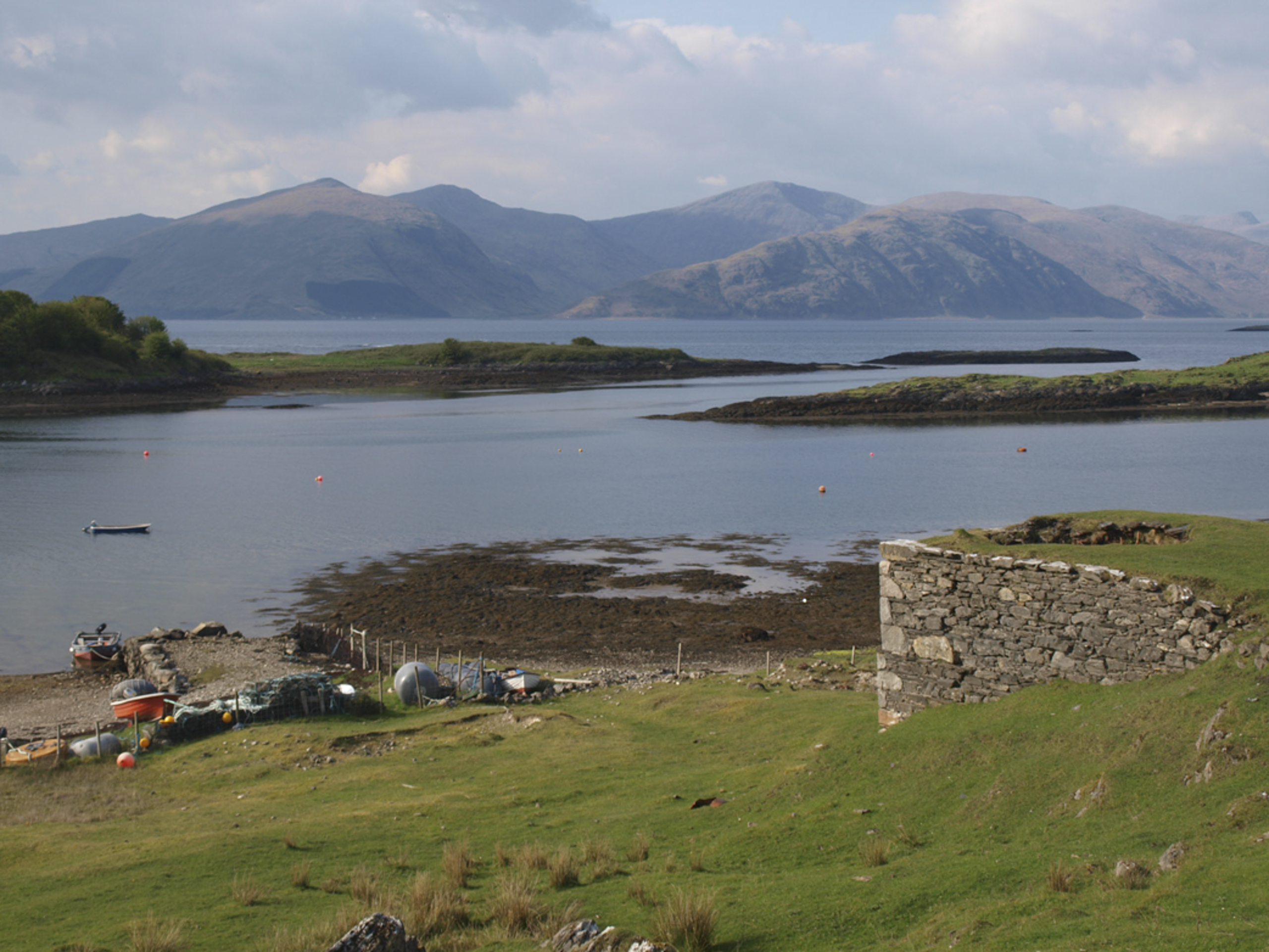
Despite the slightly daunting entrance between covered rocks before the days of GPS and Antares charts, once you are in there is loads of space to anchor, and in more or less any wind direction. As it has been for over two centuries: "Ramsey Bay, near the E. end of Lismore, is the only safe anchorage in this Island; the ground is good, the harbour pretty well sheltered, and the depth sufficient for any ship" (Nautical Descriptions of the West Coast of Great Britain from Bristol Channel to Cape-Wrath. Murdoch McKenzie, London, 1776). To safely enter the small bay to the southeast you definitely need the Antares chart.
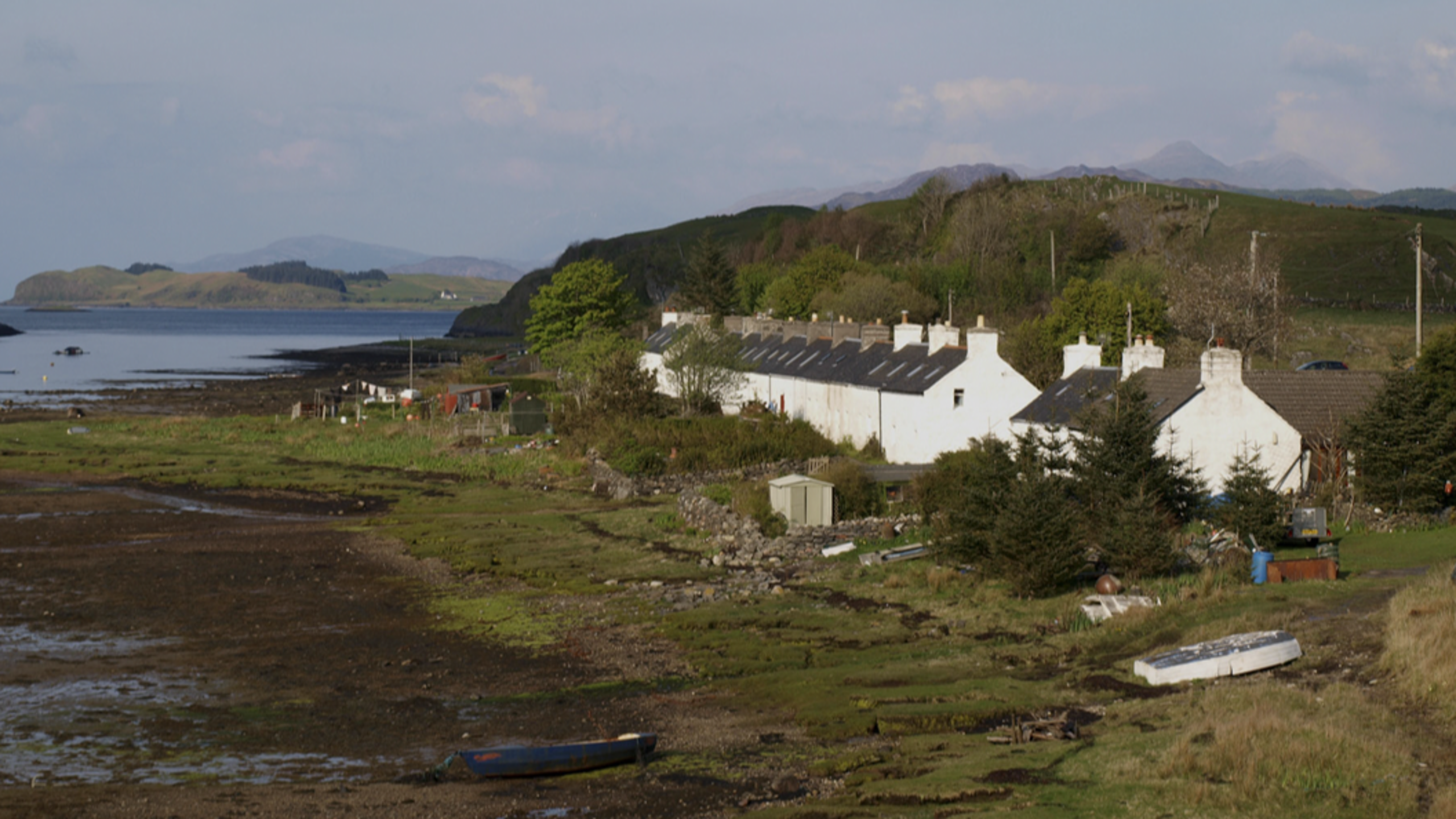
Port Ramsay itself is a charming place with many wild flowers and a very extensive foreshore full of whelks, hermit crabs and various other forms of marine life, fringed with sea pinks. Good for brambles (blackberries) too. And seals on the rocks at the entrance. The only problem is that it is quite a long row to the shore from the larger anchorage to the west. Aim for the island in front of the cottages, but watch out you don't get blocked by the falling tide on your way back.
The main thing to see are the early 19th century lime kilns just northeast of the workers' cottages built in about 1850, surprisingly not mostly holiday homes — yet. Lime production for agriculture and building became a major Victorian industry on Lismore, but by 1934 the last kiln (in Sailean down the coast) had closed. Just behind the kilns is the quarry where you can still see where the holes for the explosive charges were drilled into the cliff face. The slipway on the foreshore is where boats once arrived with coal for the kilns, and left for Glasgow with the lime. More or less the whole island is limestone so the number of lime kilns should be no surprise. In 2017, a rather in-your-face house was built right next to the kilns.