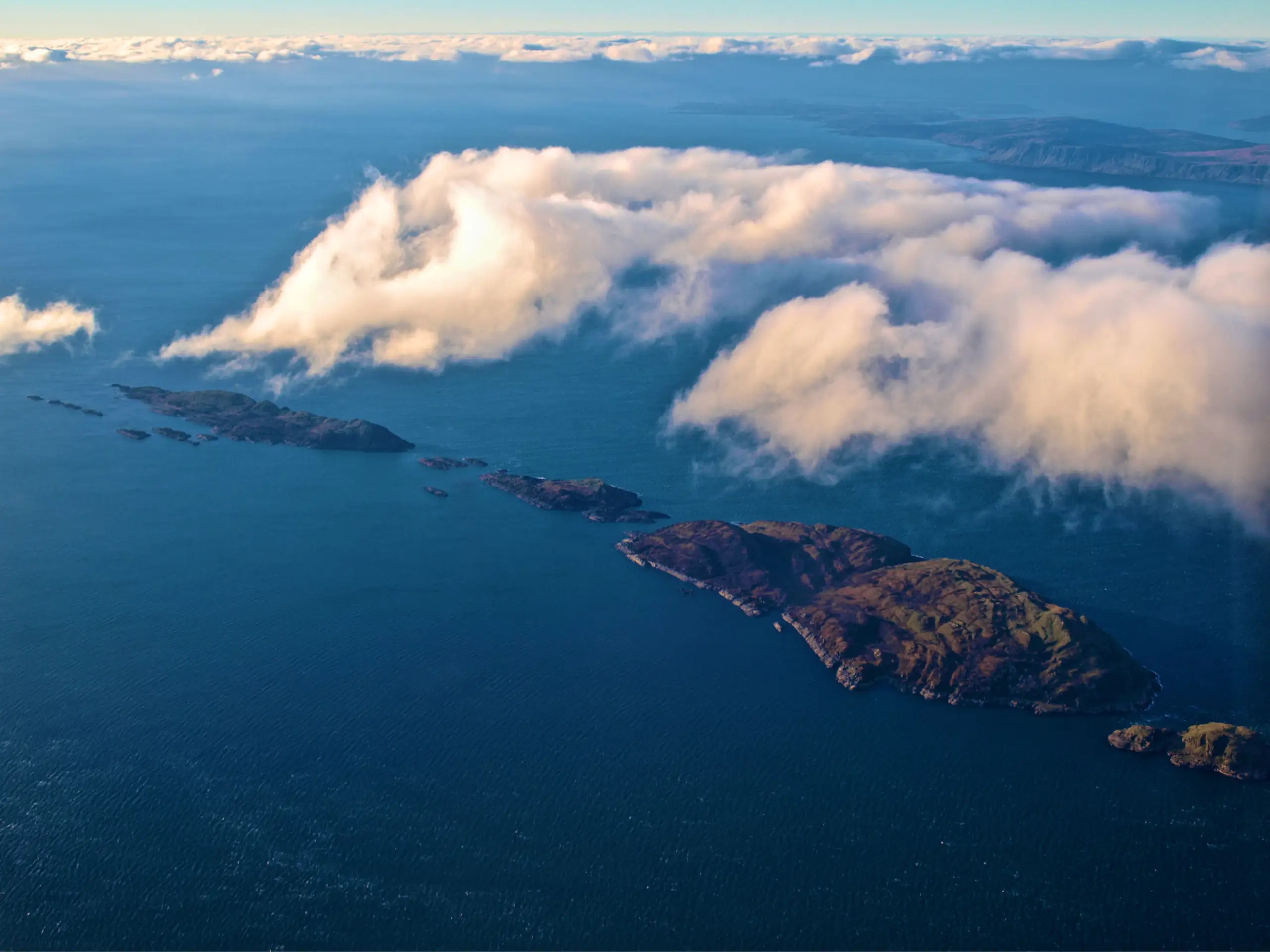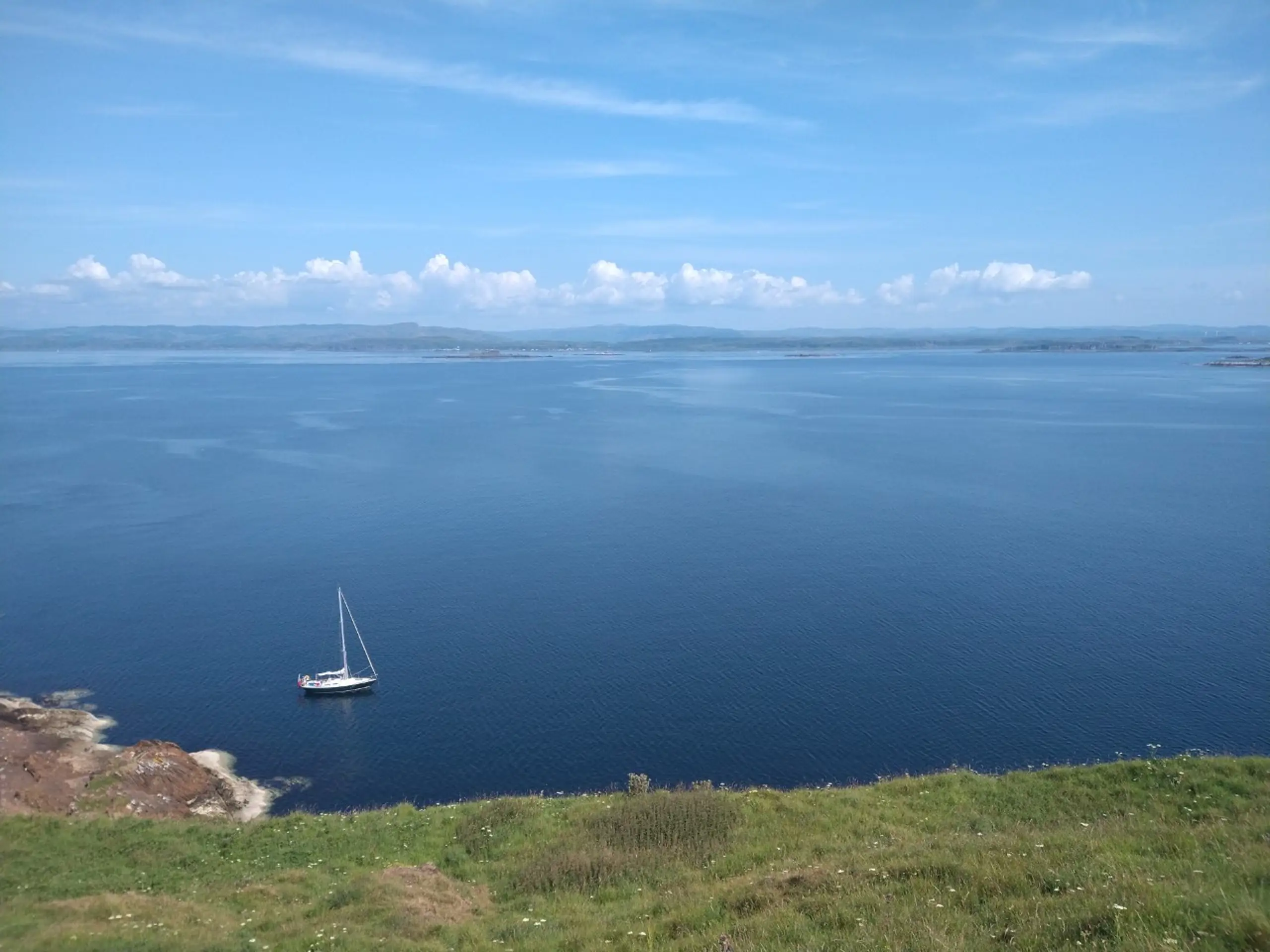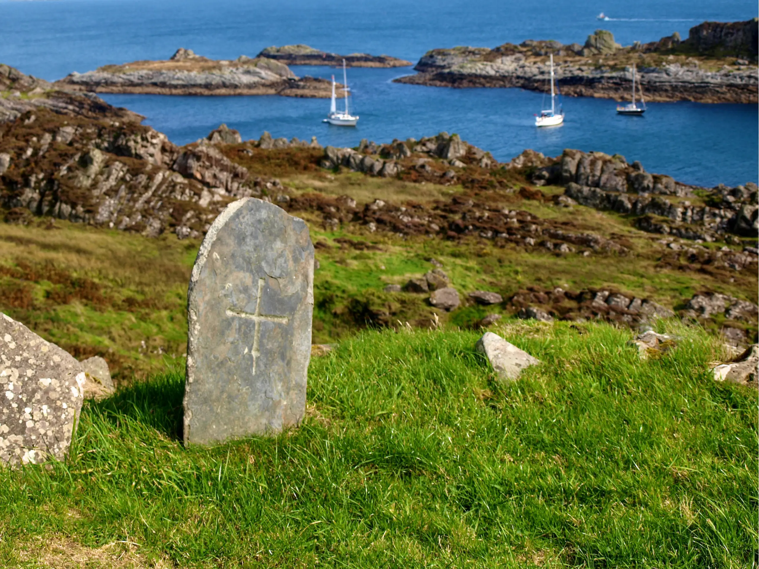
On old charts the Garvellach Islands were called 'The Islands of the Sea', a more romantic name for this string of small uninhabited islands in the Firth of Lorne. It seems as though the sun always shines on them, but this is simply because one never lands unless the weather is settled. And well worthwhile it is too. The all-round views from the top of Eileach an Naoimh (Isle of the Saints), where the main anchorage is, are fantastic, as though you are on the bridge of a ship steaming up the Firth of Lorne (from Ben Nevis to Ben More to Ireland to the Paps of Jura).
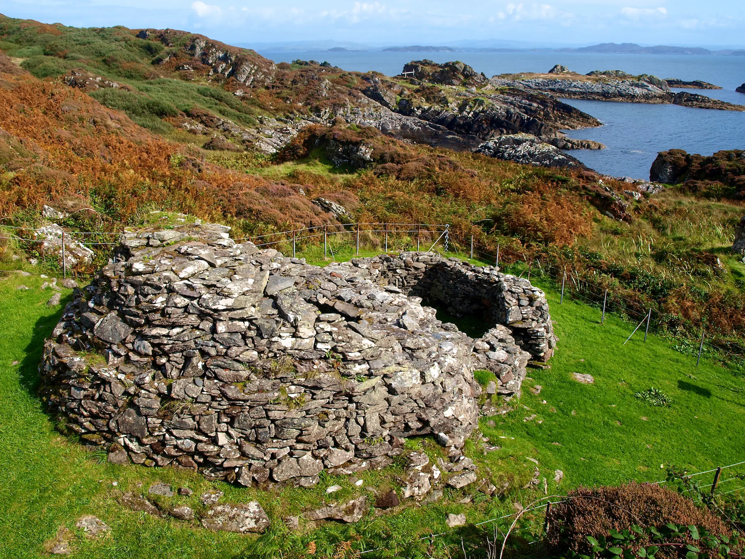
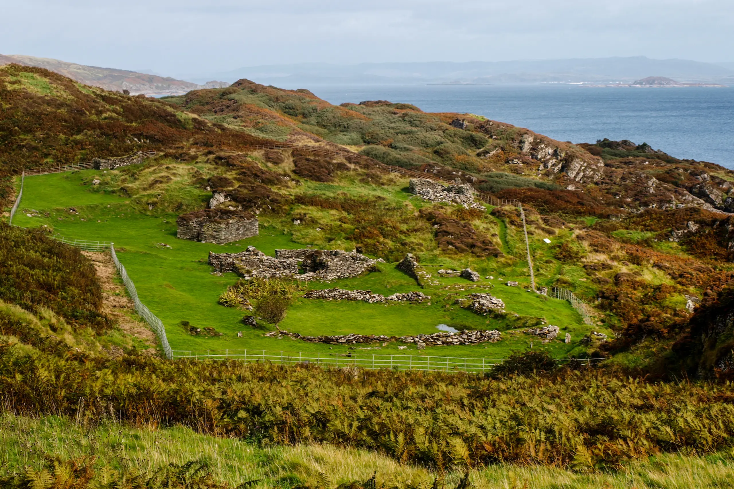
And there are some wonderful piles of old stones — early Christian bric-a-brac (St Columba and all of that of course, apparently the oldest Christian buildings in Scotland, and possibly the UK). First up, very close to the anchorage you will encounter a double beehive where monks were supposed to have lived and prayed. It is all well signed by Historic Environment Scotland. Further up the hill to the left there is a large monastic site — most impressive and peaceful, said to have been founded by St Brendan the Navigator in the 6th century. Sit here and brood on how those early Christians survived on such a remote island. There is a well for water, but what did they do about food, and heating? Your children should search for and explore the underground cell (through the gate in the metal fence, 50 metres)!
There is a burial ground — Cladh Dhuban — just by the somewhat minimal anchorage on Garbh Eileach. And finally, there is clearly an old castle, 13th century, on Dun Chonnuill, the most northerly of the islands. This is an anchorage only for the calmest of days and even then just for a lunch stop and brief explore ashore if you can cope with the awkward landing. Near the natural harbour on the east side there is some evidence of an abandoned settlement, however the most interesting remains and views are found at the top of the island. It is a bit of an awkward scramble up the steep bracken and nettle-strewn hillside, but once on top there is evidence of the ancient fort marked on the chart. You can see why it was such a good military spot with a commanding view across the southern reaches of the Firth of Lorne.